Displaced Points
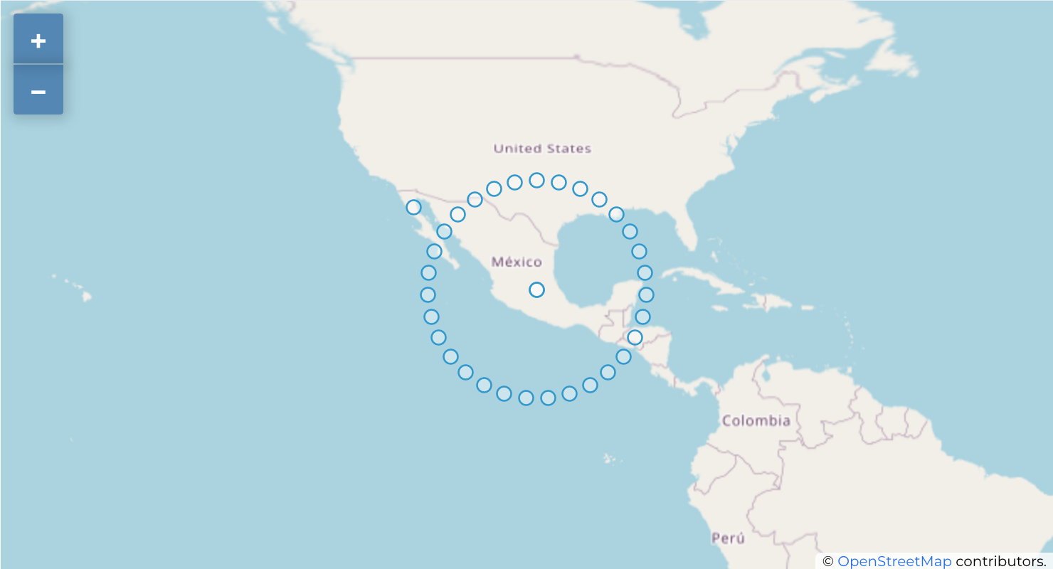
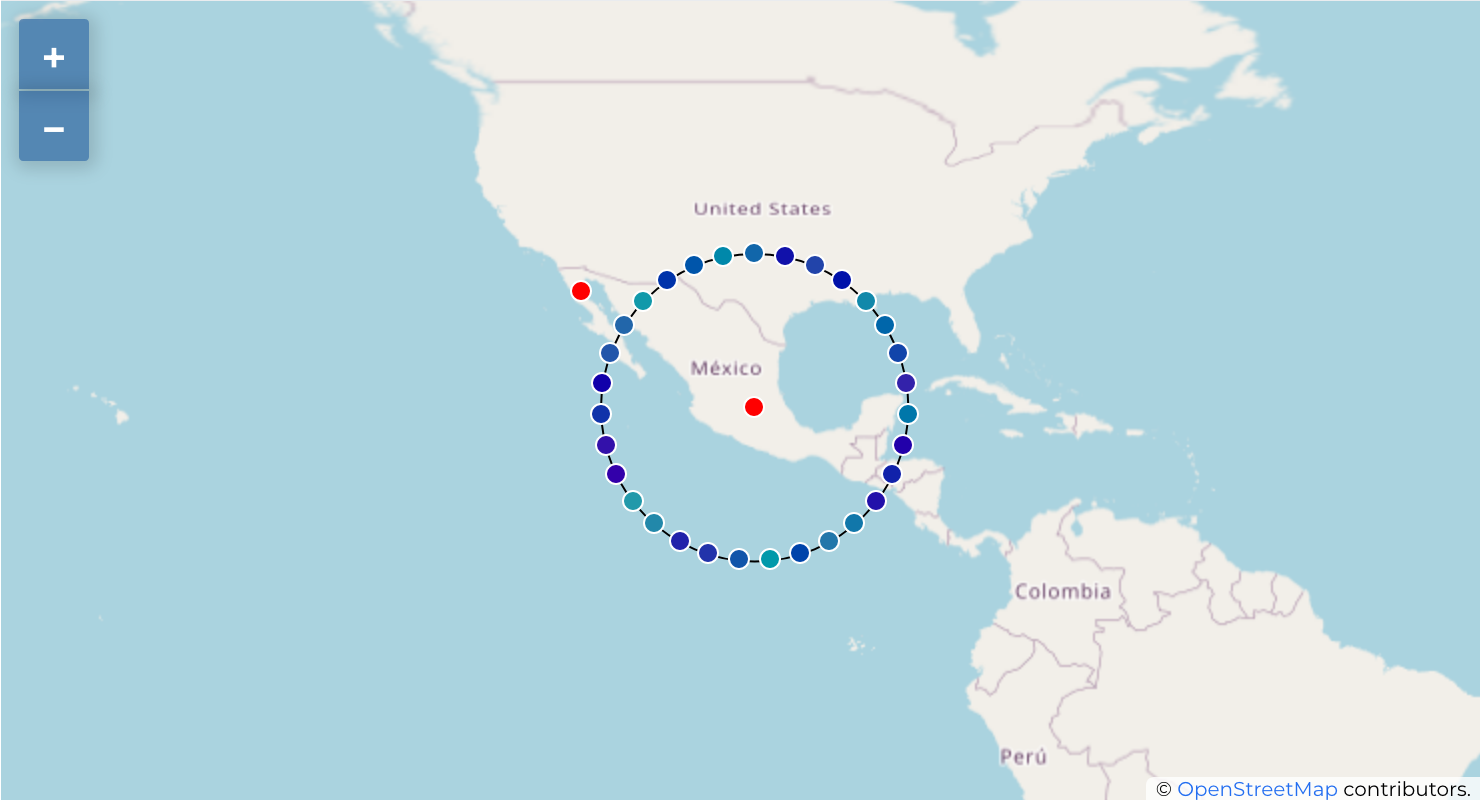
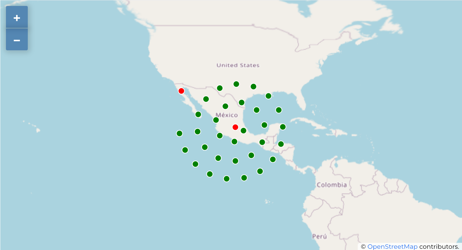
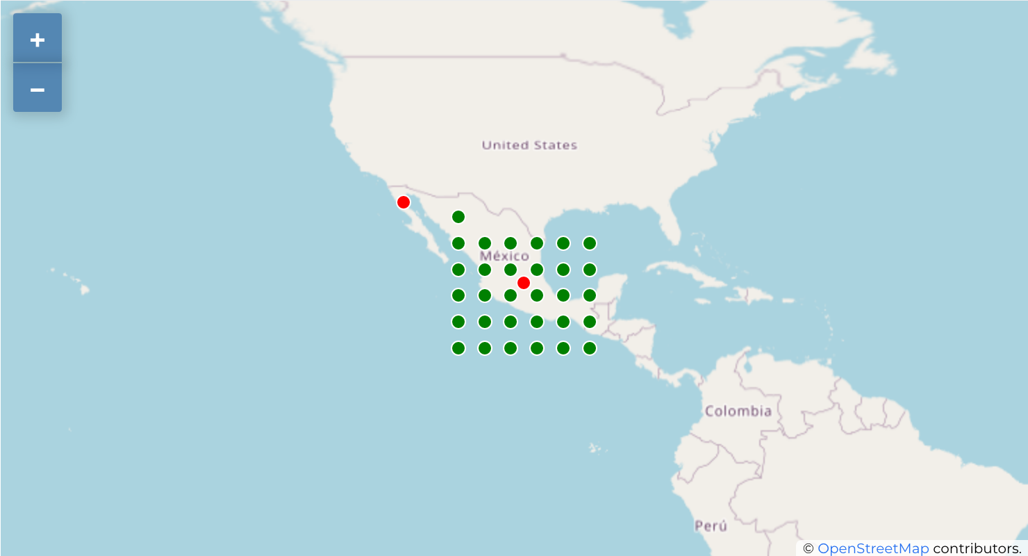
Displaced Points methodology works to visualize all features of a point layer, even if they have the same location. To do this, the map takes the points falling in a given Distance tolerance from each other (cluster) and places them around their barycenter following different Placement methods:
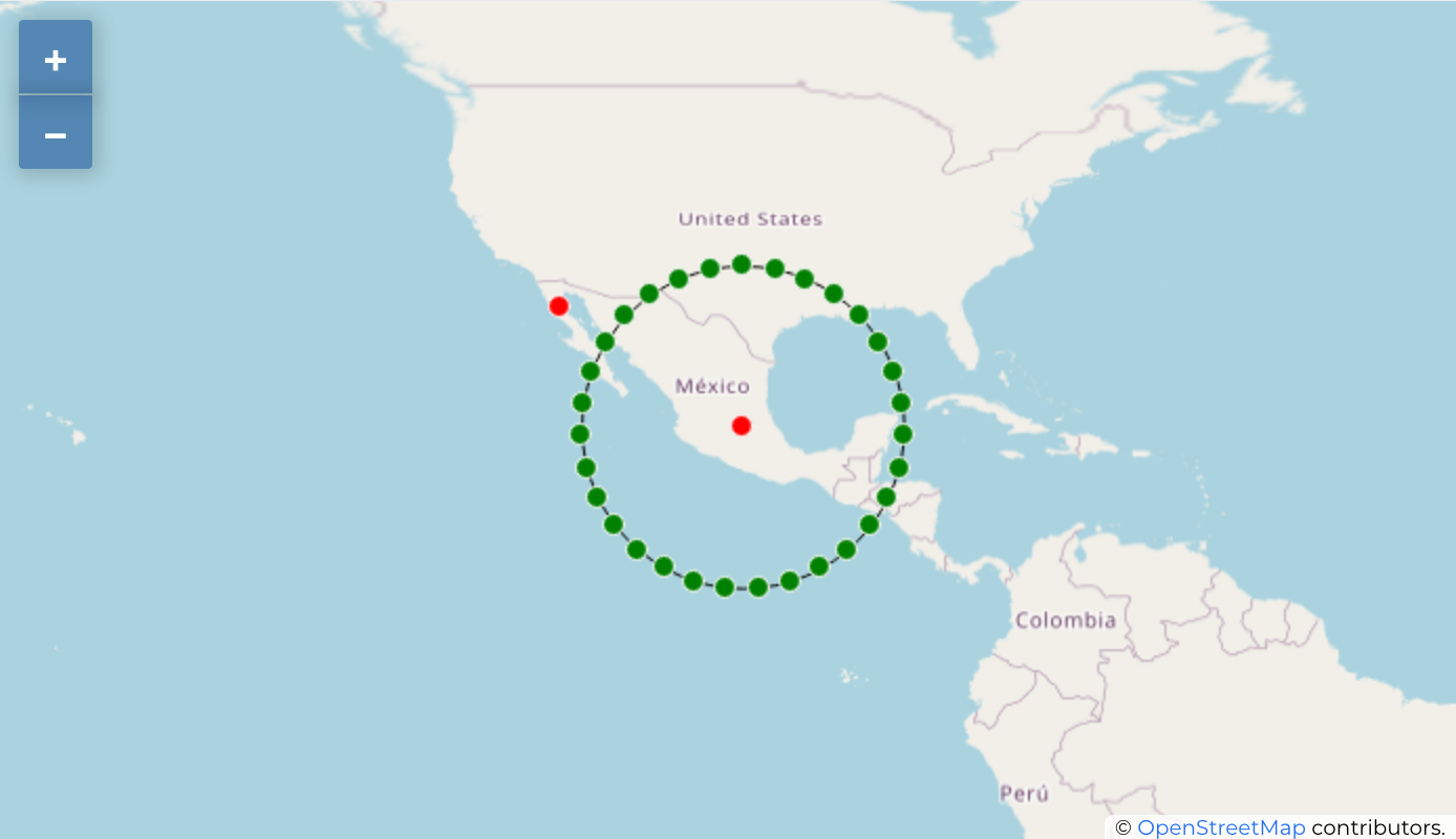
- Ring: Places all the features on a circle whose radius depends on the number of features to display.
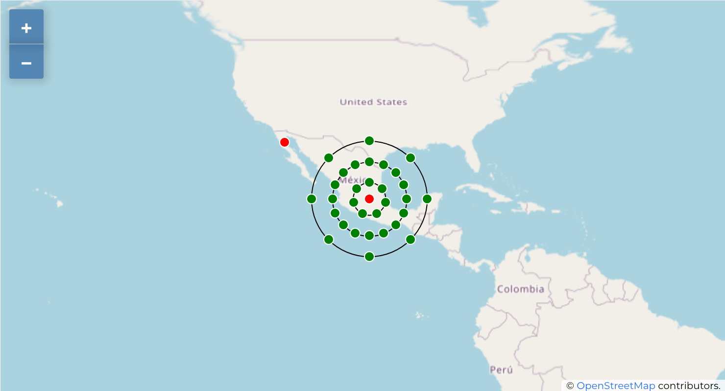
- Concentric Rings: Uses a set of concentric circles to show the features.
- Spiral: Creates a spiral with the features farthest from the center of the group in each turn.
- Grid: Generates a regular grid with a point symbol at each intersection.
Note: Displaced Points methodology does not alter feature geometry, meaning that points are not moved from their position. Changes are only visual, for rendering purpose. Each barycenter is themselves a cluster with an attribute features that contain the original features.
Install
npm
npm i ol-displaced-points
Usage
The DisplacedPoints class extends of cluster class from OpenLayers. Review examples Vector Layer and Clustered Features of OpenLayers to get context or review our use example on CodeSandbox.
<!DOCTYPE html>
<html>
  <head>
    <title>Displaced Points</title>
    <meta charset="UTF-8" />
    <style>
      .map {
        width: 100%;
        height: 400px;
      }
    </style>
  </head>

  <body>
    <div id="map" class="map" />

    <script src="src/index.js" type="module"></script>
  </body>
</html>
import Map from "ol/Map";
import TileLayer from "ol/layer/Tile";
import OSM from "ol/source/OSM";
import VectorLayer from "ol/layer/Vector";
import View from "ol/View";
import VectorSource from "ol/source/Vector";
import GeoJSON from "ol/format/GeoJSON";
import DisplacedPoints from "ol-displaced-points";
const sourceDisplacedPoints = new DisplacedPoints({
source: new VectorSource({
url: "./features.geojson",
format: new GeoJSON(),
}),
distance: 80,
minDistance: 40,
});
new Map({
layers: [
new TileLayer({ source: new OSM() }),
new VectorLayer({
source: sourceDisplacedPoints,
}),
],
target: "map",
view: new View({
center: [-101.012614352653245, 20.905432044070093],
zoom: 3,
projection: "EPSG:4326",
}),
});Style options
...
import { Circle, Fill, Stroke, Style } from "ol/style";

const radiusCenter = 5;
const radiusPoints = 5;
const sourceDisplacedPoints = new DisplacedPoints({
  source: new VectorSource({
    url: "./features.geojson",
    format: new GeoJSON(),
  }),
  distance: 80,
  minDistance: 40,
  radiusCenterPoint: radiusCenter,
  radiusDisplacedPoints: radiusPoints,
});


function styleCircle(radius, stroke, fill = "#0000") {
  return new Style({
    image: new Circle({
      radius: radius,
      stroke: new Stroke({
        color: stroke,
        with: 1,
      }),
      fill: new Fill({
        color: fill,
      }),
    }),
  });
}

function styleDisplacedPoints(f) {
  if (f.get("ring")) {
    return styleCircle(f.get("ring").radius);
  }

  if (f.get("features")) {
    return styleCircle(radiusCenter, "white", "red");
  }

  return styleCircle(radiusPoints, "white", `#${f.get("cvegeo")}a`);
}
Placement methods
new DisplacedPoints({
  ...
  placementMethod: "ring | concentric-rings | spiral | grid"
});
Ring
placementMethod: "ring"; // defaultConcentric Rings
placementMethod: "concentric-rings";Spiral
placementMethod: "spiral";Grid
placementMethod: "grid";Delimit cluster
If you need delimit the clusters based on some category, use the column name with which you want to delimit on the parameter delimiterField.
new DisplacedPoints({
  ...
  delimiterField: "<field name>"
});
(distance between points)
coming soon...

