wheredat 
A simple, easy to use, geocoding interface for web applications
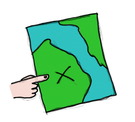
What is it?
wheredat provides a geocoding and reverse geocoding interface (UI) through Bing or MapQuest maps. You setup an instance of the application and then embed it in an iframe on any other applications that use it. The client app passes an address or lonlat it needs geocoded and wheredat builds a map showing the location found allowing the user to move the point on the map to further refine the location. All this information is passed back to the client app so it can be used or stored there.
Another one of its goals is to be extremely light weight and quick to load.
Setup
Built to be served with node.js although you can serve the files up statically as well.
For node do:
sudo npm install -g wheredatwheredat [port]Request Params
- lat - latitude to reverse geocode
- lon - longitude to reverse geocode
- address - address to geocode
- country - country to geocode
- city - city to geocode (MapQuest Only)
- type - map type
- bing
- road
- aerial
- aerialwithlabels (default)
- mapquest
- road
- satellite
- hybrid (default)
- bing
- freeze - lock map, no dragging, zooming, panning
- true
- false (default)
- key - Bing/MapQuest API key (required)
- layerSwitcher - Enable layer switcher
- true
- false (default)
- service - change map service to use mapquest
- mapquest
- bing (default)
Message Data
wheredat uses window.postMessage
for cross domain communication. However, this is not supported in IE <= 7.
If your application support legacy browsers, wheredat also calls a
function named wheredat_geocode on the parent window. However for this to
work you will need to proxy your wheredat server.
The data returned will look like:
address: "58TH Ave, Chippewa Falls, WI 54729" bounds: 44922998091755495 -912955657722567 4493072352689685 -91281018090048 lat: 4492686080932617 lon: -9128829193115234 _mapquestObj: /* Original MapQuest Geocode Object (If using MapQuest) */ _bingObj: /* Original Bing Geocode Object (If using Bing) */Or if unable to geocode:
error: 'wheredat was unable to geocode'This data will return whenever a geocode or reverse geocode happens (e.g. whenever the point is moved or when the map is initially loaded).
Example
See the demo page for an example of the Bing usage in a client side application.
See the demo page for an example of the MapQuest usage in a client side application.
License
(The MIT License)
Copyright (c) 2014 Applied Data Consultants
Permission is hereby granted, free of charge, to any person obtaining a copy of this software and associated documentation files (the 'Software'), to deal in the Software without restriction, including without limitation the rights to use, copy, modify, merge, publish, distribute, sublicense, and/or sell copies of the Software, and to permit persons to whom the Software is furnished to do so, subject to the following conditions:
The above copyright notice and this permission notice shall be included in all copies or substantial portions of the Software.
THE SOFTWARE IS PROVIDED 'AS IS', WITHOUT WARRANTY OF ANY KIND, EXPRESS OR IMPLIED, INCLUDING BUT NOT LIMITED TO THE WARRANTIES OF MERCHANTABILITY, FITNESS FOR A PARTICULAR PURPOSE AND NONINFRINGEMENT. IN NO EVENT SHALL THE AUTHORS OR COPYRIGHT HOLDERS BE LIABLE FOR ANY CLAIM, DAMAGES OR OTHER LIABILITY, WHETHER IN AN ACTION OF CONTRACT, TORT OR OTHERWISE, ARISING FROM, OUT OF OR IN CONNECTION WITH THE SOFTWARE OR THE USE OR OTHER DEALINGS IN THE SOFTWARE.